Latest AI and tech news

For 35 years, Donna Goldstein used GIS to improve education, expand internet access, and strengthen school safety in Florida’s Palm Beach County.
USWFS (US Wildland Fire Service) brings four Interior wildland fire programs together, using shared mapping to strengthen wildfire mitigation.
A NATO leader turns GIS from a mapmaking function into a mission-critical capability uniting 32 nations around a common operating picture.
Pennsylvania corrections investigators use location intelligence to connect facility and parole data, helping staff mitigate risk.
The City of Hoboken uses GIS to reduce traffic risks, manage flood resilience, and coordinate investments that improve safety and mobility.
MassDOT Aeronautics used GIS to centralize drone imagery, improving access, governance, and efficiency for agencies across the commonwealth.
The Public Land Survey System covers 30 million parcels and is realizing the vision of a single authoritative record for America’s public lands.
GIS helped a North Carolina county fill gaps left by reduced SNAP benefits and regional food bank better understand gaps in food access.
City personnel in Kelowna share asset data across departments to spot problems earlier, reduce costs, and maintain infrastructure.
LA County Public Health used GIS to build a near real-time situation report for the World Cup, tracking heat, air quality, and disease risk.
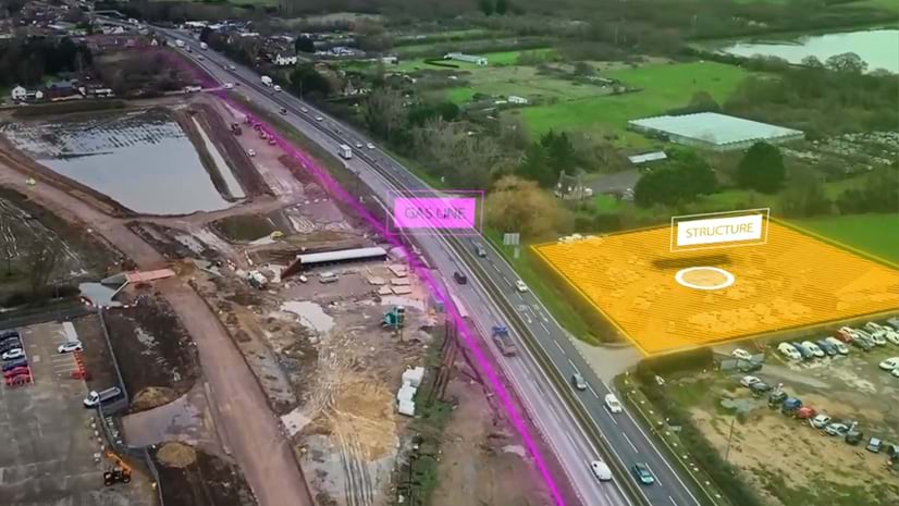
Fairfax County Fire & Rescue used GIS to guide a gas explosion response—mapping gas levels, tracking evacuations, and processing drone images.
How a terrain model and a decade of hydrologic science became a real-time flood map that alerts the whole US to disaster.
Leaders from the City of Tacoma, the Smithsonian, and other organizations take a geographic approach to make stronger decisions.
Alaska Department of Natural Resources’ new mapping hub is opening Alaska’s carbon storage potential to the world.
NOAA and MITRE paired a knowledge graph with GIS to trace how infrastructure failures cascade beyond storm track and intensity.
City planners in Ottowa use shared maps that visualize data to confidently plan housing and infrastructure projects.
As extreme weather intensifies, Milwaukee's regional water agency shows what preparedness, spatial data, and green infrastructure can do.
From These Lands at the Smithsonian maps 600 objects across all 50 states to show how geography connects natural and cultural heritage.
From stormwater planning in LA County to cyber recovery in Durham, GIS lets communities catch infrastructure risk before it cascades.
Seattle applies GIS and a Racial and Social Equity Index to address food insecurity and guide equitable public services.
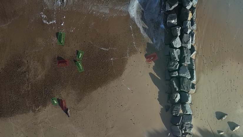
As coastal erosion takes homes in some Outer Banks neighborhoods in North Carolina, a GIS analyst keeps watch with a drone.
Discover how local field teams braved one of Africa’s most demanding forests to conduct the first-ever chimpanzee census in Bwindi.
Volunteer sailors are mapping Pacific Ocean biodiversity that scientists can't afford to reach—one water sample at a time.
How Freeport-McMoRan built its environmental records system to track decades of residential cleanup work across legacy sites in multiple states.
As communities grow and change, US Census teams are finding faster ways to keep data accurate.
Lebanon built a crisis coordination system by positioning it as a transparent bridge between government, UN agencies, and communities.
Volunteers map thousands of miles of walking paths, making Scotland’s trails easier to find, access, and enjoy.
May 21, 2026 |Katie Olson|Video
##
May 7, 2026 |Katie Olson|Video
##
UNESCO knew where its sites were. Mapping their boundaries unlocked connections, threats, and findings no one expected.
Communities use GIS to model land use; engage residents; and form smart growth strategies that support equity, sustainability and infrastructure.
Ancient maps were carved by cultures that never met, but used the same symbols, revealing how humans think alike and how far mapping has come.