Latest AI and tech news


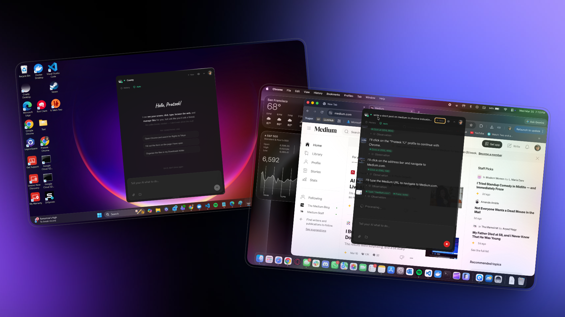
Screenshots, coordinates, and safety nets — the real engineering behind AI that clicks your screen....

ASHBURN, Va. — September 15, 2026 — Pointerra (ASX: 3DP) ("Pointerra"), a global provider of cloud-nativeoperational intelligence software for 3D geospatial data, today announced a channel referral partnership withInertial Labs ("Inertial Labs"), a V...
Announcement of the Launch Schedule for Synspective’s 12th StriX Satellite

TORONTO, ON and PARIS, FRANCE (SEPTEMBER 16, 2026) – MDA Space Ltd. (TSX:MDA; NYSE:MDA), a trusted mission partner to the global defence and space industry, unveiled today at the World Space Business Week conference the end-to-end MDA CHORUS™ Earth observation (EO) product portfolio. The introductio

Cross-border visibility in North America is the practice of tracking a shipment across a US, Canada or Mexico land crossing in a way that reflects its customs status, not just its vehicle position. It differs from domestic visibility because the two ...


Two satellites launched together today from French Guiana. One measures a signal invisible to the eye that reveals plant stress before it shows in a field. The other extends a decade-long watch on oceans, ice, land and atmosphere....


How a terrain model and a decade of hydrologic science became a real-time flood map that alerts the whole US to disaster.
Synspective Announces Synspective OMNIA, a New Program for Sharing Small SAR Satellite Constellation Capacity

See how a geospatial intelligence platform surfaces physical-world signals of supply-chain disruption before they reach your ERP, giving teams time to act.
PublishedSeptember 14th, 2026

Eartheye Space and IN2 Forge Strategic Partnership to Deliver Decision-Ready Situational Awareness
Eartheye Space has signed a memorandum of understanding (MoU) with IN2, a research-led insight and behavioural-change consultancy, giving IN2 ...
Register the CARTO MCP Server in Snowflake and let CoWork agents build maps and run spatial analysis on your Snowflake data, under your own controls.
We've been taking a fresh look at the cartographic decisions at every level of our map stack. Our recent water layer changes and water label updates made a visible difference to the Stamen Terrain style....

Written byBrad Shilling,September 14, 2026
The Telescope That Will Photograph 100 Times More Sky Than Hubble in a Single Shot Is Now on Its Way to L2 — and It Exists Because One…...
Part 3 — Deriving and Implementing Variograms, BLUE, and Uncertainty Mapping...
The first demo that felt genuinely useful was not “find coffee near me.” PostGIS already makes that easy....
Building a self-contained interactive page takes minutes now, and increasingly a model does it. The hosting was built on the assumption that whoever wrote the file, person or model, cannot be trusted....
INTERGEO 2026, the world’s leading platform for geodesy, geoinformation and land management, kicks off next week in Munich (September 15-17), and GIS Cloud will be there on the 16th and 17th....
A study co-authored by researchers from EPFL, ETH Zurich and the University of Zurich shows how satellite data can support humanitarian conflict analysis, helping provide a clearer picture of the consequences of war and reduce the toll on civilians.

Satellite positioning gets you to the building. Inside the building, it abandons you. The signals that triangulate your position to within a few meters outdoors cannot penetrate a roof. Concrete and steel kill the signal. Inside a warehouse, a hospit...

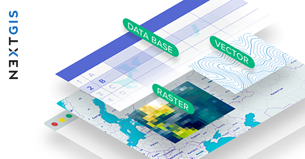
NextGIS will take part in the QGIS User Conference 2026 in Laax, Switzerland, with a conference talk and an extended hands-on workshop focused on collaborative workflows for QGIS teams
I spent the first phase of my Shipaton build getting a weather satellite pipeline to work. It worked. Then I looked at what it produced and cut it from the core of the app....

What is a PZR (Property zoning report) ? Learn what property zoning reports include, PZR vs. zoning letters, costs, turnaround times, and how AI can speed up zoning research.
Training a fast depth model on one RTX 5090, finding its limits on ultrawide images, and getting a better result by aligning MoGe to the phone's LiDAR.